Tag: Paris
-
Grand Paris survey: How walkable is your neighborhood?

We realized a questionnaire in the framework of a scientific study with the focus on life quality and mobility in the surroundings of Paris’ most frequented ring road, the Boulevard Periphérique (between 1.1 and 1.2 million vehicles per day). Are you living in the metropolitan area of Paris? Take part in this online questionnaire and help us…
-
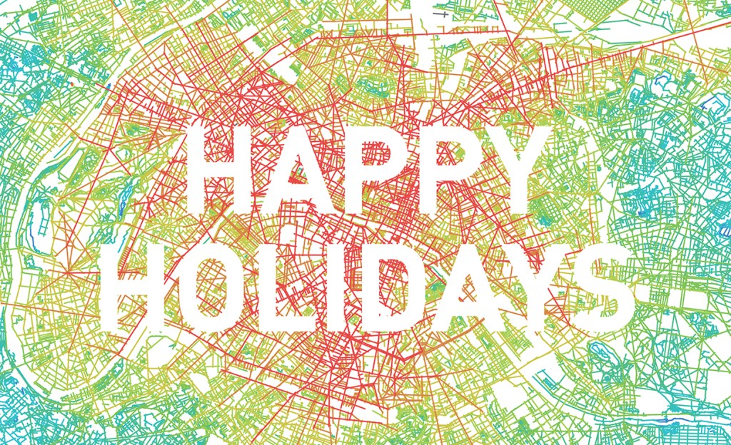
Happy Holidays
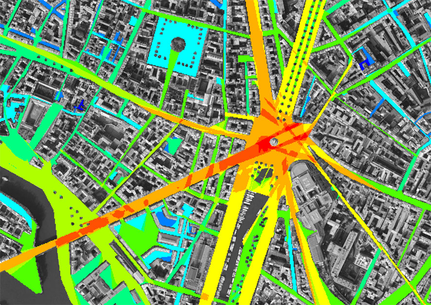
Paris et sa banlieue, 2015: zero emission model / Space Syntax (finalized during my stay as a visiting researcher at Rijksuniversiteit Groningen and Université Paris-Sorbonne IV (F), autumn/winter 2015)
-
Walk21: One Step Back, Two Steps Forward

Post-Oil Strategies for Paris: History can tell us where the robustness of urban structures has been proved by its users, by objects and by space[1]. The knowledge gained from spatial emergence and spatial agency[2] (i.e. morphology, accessibility and connectivity, modal split, density, scales as well as place) can be applied to find out how urban…
-
Ongoing Research: Energy-Conscious Urban Infill Development

Case Study: Post Oil Strategies for Paris History can tell us where the robustness of urban structures has been proved by its users, by objects and by space¹. The knowledge gained from spatial emergence and spatial agency² (i.e. morphology, accessibility and connectivity, modal split, density, scales as well as place) can be applied to find out how…
-
Skater, Data and the City
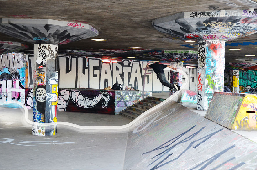
GPS Tracking and Geo-Tagging of Street Skateboarders and Traceurs in Paris and London (submitted March 2014) This study aims to investigate the informal, temporary usage of space based on two sub-cultures. Skateborading and parcour are acitivities which are direct performed in relation to architecture and urban space. Both activities are a run across terrains with mementary…
-
“Dembski’s Heterotopia”: Project “Sept Ans de Bonheur” published in the current issue of “Skin”

The architecture magazine “Skin” (Architektur und Bauforum) reports on the project “Sept Ans de Bonheur” (in German). Available at the newsagent’s or via the following link: Architektur und Bauform – Skin.
-
Collage of a City
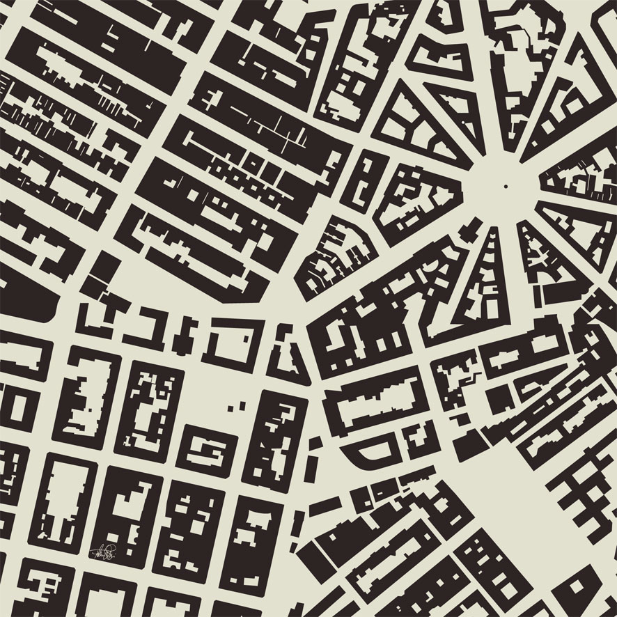
This virtual city map was created out of four different city structures, all developed during the late 19th century as city expansions after the industrial revolution. New York – Meatpacking District Paris – Victor Hugo Vienna – Ottakring London – Marylebone
-
Paris Camouflage
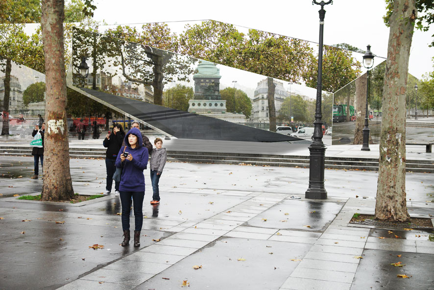
Mirrored pavilion “Sept Ans de Bonheur” – concept for Paris, Place de la Bastille. learn more