GPS Tracking and Geo-Tagging of Street Skateboarders and Traceurs in Paris and London (submitted March 2014)
This study aims to investigate the informal, temporary usage of space based on two sub-cultures.
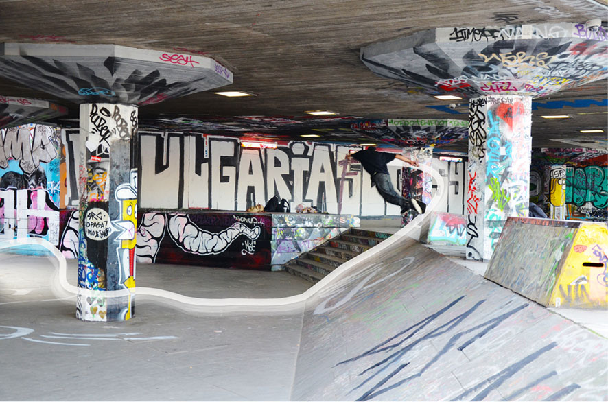
Skateborading and parcour are acitivities which are direct performed in relation to architecture and urban space.
Both activities are a run across terrains with mementary settling and encounters with all manner of diverse objects and spaces (cf. Borden, 2000).
It thereofore shows how there might be great potentials in cities and architecture that are as yet largely undreamt of by architects, planners and urban managers (Borden, 2001).
Thus, it evokes a different view of the city.
Of particular interest for us is the additional information which can be retrieved from 3D traces compared to 2D traces;
overlayed and combined with information from geotagged images, the public realm, land use, building heights, building volumina, building type, and materials and we can develop a semantic model.
project team: Fabian Dembski & Claudia Yamu @ SimLab, Vienna University of Technology


Leave a comment